


MyRadar
News
—
National Oceanic & Atmospheric Administration (NOAA) selects MyRadar for development of technologies for wildfire resilience
by Mike Linden | Director of Video & Social Media Content/Meteorologist
10/25/2022
ORLANDO, FL – MyRadar, the popular weather and environmental intelligence app mobile, desktop and console platforms, has been selected by the National Oceanic and Atmospheric Administration (NOAA) to develop and demonstrate key technologies that will enable satellite-based information and alerting to assist in the detection and mitigation of wildfire hazards.
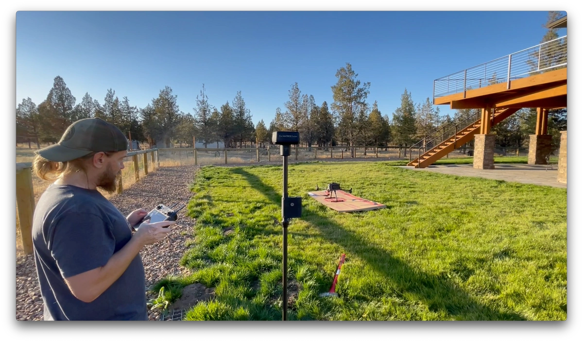
This research, performed under the agreement, will be integrated with the company’s commercial constellation of satellites that will employ and onboard patented, proprietary, artificial intelligence and machine learning algorithms for processing hyperspectral measurements and other sensor data to provide unique forecast insights into wildfire risks along with alert-driven notifications to apprise users on the ground of impending wildfire hazards.
In addition to numerous other products and services, the processed data will be used to generate dynamic risk maps for wildfire-related destructive forces and provide decision support for fire management agencies, municipalities and end-user customers, both consumer and industry.
“This NOAA award allows MyRadar to tailor our satellite-based AI approach to near-fire detection and alerting use cases through laboratory and field data collection that provides our models with high-quality training data at the Wildland-Urban Interface,” said Dr. Sarvesh Garimella, MyRadar’s Chief Scientist and COO.
“Ultimately the research being done under the NOAA award will bring improved wildfire resilience to bear to help combat the increasing threat,” said Andy Green, MyRadar’s CEO. “This will allow us to provide life-saving, advance intelligence directly through the MyRadar app to its tens of millions of users as one additional tool to help mitigate the destructive effects of wildfires.”
An extension of the technology will be a foundational element to MyRadar’s future, space-borne earth observation sensor platform known as HORIS, the Hyperspectral Orbital Remote Imaging Spectrometer, currently being developed and tested.
The company successfully launched three prototype satellites in May 2022 in advance of the commercial deployments. Future missions based on the technology will monitor the effects of climate change and the effectiveness of mitigation strategies, but will also include capabilities that service national defense, insurance, logistics, and other commercial industries.
The data and services developed in conjunction with HORIS will be integrated into the MyRadar app and available to its tens of millions of users.